02.05.2022
Organic
Houdini 19.0
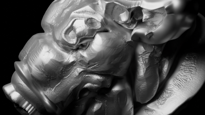
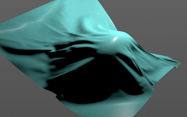
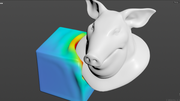
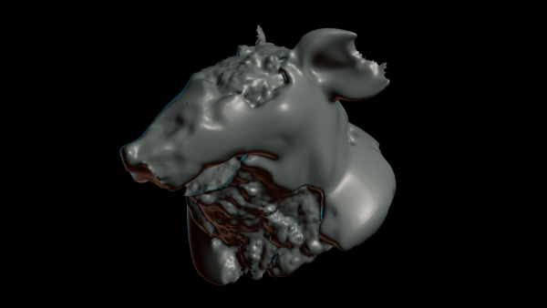
The surface curvature of a mesh gets mapped to a height field. The erosion of the landscape is then transferred back based on the UV coordinates for displacement.
286
192
207
265
164
220